


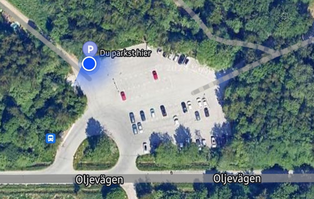
(Örebro) Through the Internet, but the app “Park4night” in particular, and this is very important with the train length of 17 meters, satellite images are available.
Here, for example, the current square.
I always compare the total space in relation to the sizes of the cars.
To do this, I have to check the directions. With the navigation system for commercial road haulage, this works quite well.
Except for blatant map errors… Ohoh… I remember the south of France with horror.

The Problem of AI~s
Welcome to Luleå, northern Sweden.
TRAVEL ROUTE E10 to Norway.
Help yourself…